The belfry of St Lawrence's Church
Introduction
The photograph on this page of The belfry of St Lawrence's Church by Roger Templeman as part of the Geograph project.
The Geograph project started in 2005 with the aim of publishing, organising and preserving representative images for every square kilometre of Great Britain, Ireland and the Isle of Man.

There are currently over 7.5m images from over 14,400 individuals and you can help contribute to the project by visiting https://www.geograph.org.uk
The belfry of St Lawrence's Church
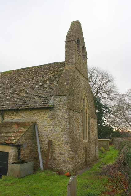
Image: © Roger Templeman Taken: 7 Dec 2015
The Ordnance Survey cut a benchmark, http://www.bench-marks.org.uk/bm20145 at the base of the belfry in 1856, but it couldn't be found
Images are licensed for reuse under creativecommons.org/licenses/by-sa/2.0
Image Location


Leaflet Map data © OpenStreetMap
Latitude
51.706431
Longitude
-1.341201