Stoops Farm, Dean Lane, near Billington
Introduction
The photograph on this page of Stoops Farm, Dean Lane, near Billington by Stephen Craven as part of the Geograph project.
The Geograph project started in 2005 with the aim of publishing, organising and preserving representative images for every square kilometre of Great Britain, Ireland and the Isle of Man.

There are currently over 7.5m images from over 14,400 individuals and you can help contribute to the project by visiting https://www.geograph.org.uk
Stoops Farm, Dean Lane, near Billington
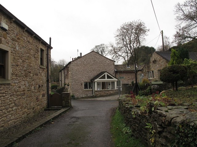
Image: © Stephen Craven Taken: 26 Nov 2015
Dean Lane is a surfaced part of the ancient route between Whalley and Great Harwood, while other sections are still unsurfaced bridleways.
Images are licensed for reuse under creativecommons.org/licenses/by-sa/2.0
Image Location
Latitude
53.8124
Longitude
-2.405153