Victor Close housing, Cosford
Introduction
The photograph on this page of Victor Close housing, Cosford by Jaggery as part of the Geograph project.
The Geograph project started in 2005 with the aim of publishing, organising and preserving representative images for every square kilometre of Great Britain, Ireland and the Isle of Man.

There are currently over 7.5m images from over 14,400 individuals and you can help contribute to the project by visiting https://www.geograph.org.uk
Victor Close housing, Cosford
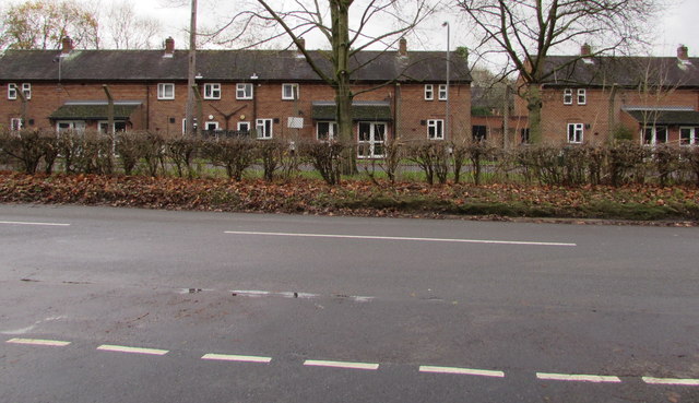
Image: © Jaggery Taken: 1 Dec 2015
Housing behind wire fencing in the RAF Cosford site, viewed across Newport Road near the A41 junction.
Images are licensed for reuse under creativecommons.org/licenses/by-sa/2.0
Image Location
Latitude
52.644363
Longitude
-2.290222