Milborne St. Andrew: looking across the fields
Introduction
The photograph on this page of Milborne St. Andrew: looking across the fields by Chris Downer as part of the Geograph project.
The Geograph project started in 2005 with the aim of publishing, organising and preserving representative images for every square kilometre of Great Britain, Ireland and the Isle of Man.

There are currently over 7.5m images from over 14,400 individuals and you can help contribute to the project by visiting https://www.geograph.org.uk
Milborne St. Andrew: looking across the fields
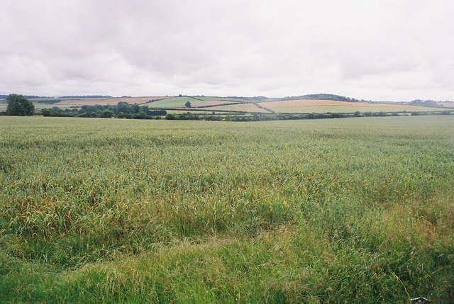
Image: © Chris Downer Taken: 24 Jun 2007
A view south across the mid-Dorset countryside, from a layby on the A354.
Images are licensed for reuse under creativecommons.org/licenses/by-sa/2.0
Image Location


Leaflet Map data © OpenStreetMap
Latitude
50.778483
Longitude
-2.266453