Peldon Road by Pete Tye Common
Introduction
The photograph on this page of Peldon Road by Pete Tye Common by Robin Webster as part of the Geograph project.
The Geograph project started in 2005 with the aim of publishing, organising and preserving representative images for every square kilometre of Great Britain, Ireland and the Isle of Man.

There are currently over 7.5m images from over 14,400 individuals and you can help contribute to the project by visiting https://www.geograph.org.uk
Peldon Road by Pete Tye Common
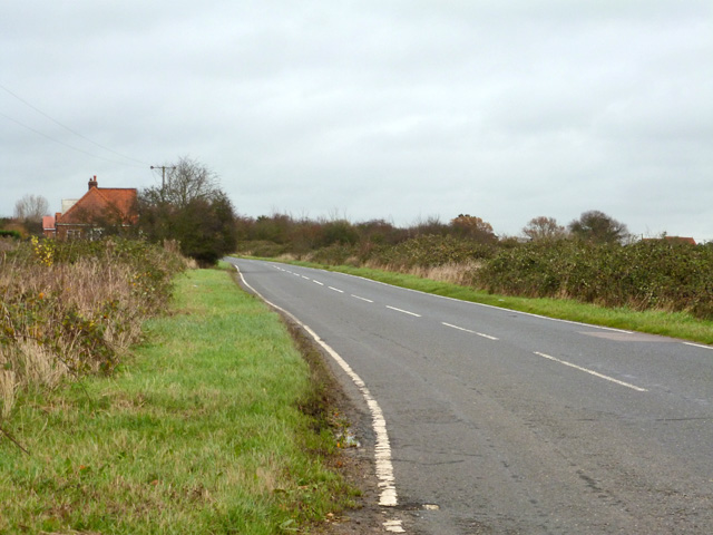
Image: © Robin Webster Taken: 6 Dec 2015
The largest area of the common is to the right, mostly grass beyond the brambles. The left verge of the road is also common land, although of little width.
Images are licensed for reuse under creativecommons.org/licenses/by-sa/2.0
Image Location


Leaflet Map data © OpenStreetMap
Latitude
51.82567
Longitude
0.906073