Bridge 371 identifier, Albrighton
Introduction
The photograph on this page of Bridge 371 identifier, Albrighton by Jaggery as part of the Geograph project.
The Geograph project started in 2005 with the aim of publishing, organising and preserving representative images for every square kilometre of Great Britain, Ireland and the Isle of Man.

There are currently over 7.5m images from over 14,400 individuals and you can help contribute to the project by visiting https://www.geograph.org.uk
Bridge 371 identifier, Albrighton
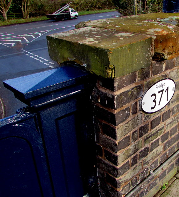
Image: © Jaggery Taken: 1 Dec 2015
The oval identifier is on the Albrighton railway station side of this http://www.geograph.org.uk/photo/4755351 bridge over Station Road. The Station Road/A41 Albrighton Bypass junction is in the background. Identifier 370 http://www.geograph.org.uk/photo/4758443 is nearby.
Images are licensed for reuse under creativecommons.org/licenses/by-sa/2.0
Image Location
Latitude
52.638209
Longitude
-2.269345