Cut Mark: Tealby, Tealby Vale Farm
Introduction
The photograph on this page of Cut Mark: Tealby, Tealby Vale Farm by Brian Westlake as part of the Geograph project.
The Geograph project started in 2005 with the aim of publishing, organising and preserving representative images for every square kilometre of Great Britain, Ireland and the Isle of Man.

There are currently over 7.5m images from over 14,400 individuals and you can help contribute to the project by visiting https://www.geograph.org.uk
Cut Mark: Tealby, Tealby Vale Farm
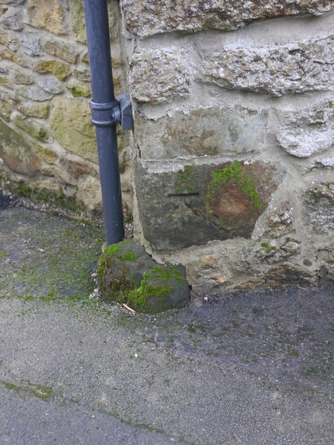
Image: © Brian Westlake Taken: 3 Dec 2015
A cut bench mark is on the north angle of the farmhouse. See http://www.geograph.org.uk/photo/4758086 for a wider view and http://www.bench-marks.org.uk/bm71959 for details of the mark.
Images are licensed for reuse under creativecommons.org/licenses/by-sa/2.0
Image Location
Latitude
53.403929
Longitude
-0.259173