Railway approaching Ashford International from the west
Introduction
The photograph on this page of Railway approaching Ashford International from the west by Robin Webster as part of the Geograph project.
The Geograph project started in 2005 with the aim of publishing, organising and preserving representative images for every square kilometre of Great Britain, Ireland and the Isle of Man.

There are currently over 7.5m images from over 14,400 individuals and you can help contribute to the project by visiting https://www.geograph.org.uk
Railway approaching Ashford International from the west
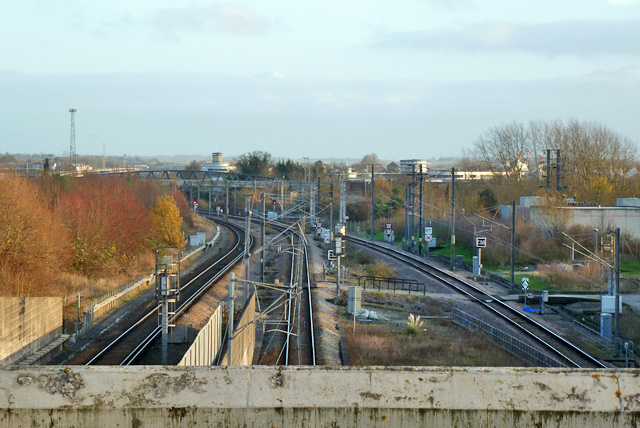
Image: © Robin Webster Taken: 4 Dec 2015
The old railway is out of sight to the right. Here the two tracks on the right are connections to the station from the Channel Tunnel line. This main line of this, bypassing the station, is in tunnel beneath these tracks, running from between the widely separated tracks on the right across to emerge beyond the trees on the left. The track visible on the left is a connection from Network Rail to the shared platforms at the station.
Images are licensed for reuse under creativecommons.org/licenses/by-sa/2.0
Image Location
Latitude
51.148855
Longitude
0.862761