Towards the East Looe valley
Introduction
The photograph on this page of Towards the East Looe valley by Derek Harper as part of the Geograph project.
The Geograph project started in 2005 with the aim of publishing, organising and preserving representative images for every square kilometre of Great Britain, Ireland and the Isle of Man.

There are currently over 7.5m images from over 14,400 individuals and you can help contribute to the project by visiting https://www.geograph.org.uk
Towards the East Looe valley
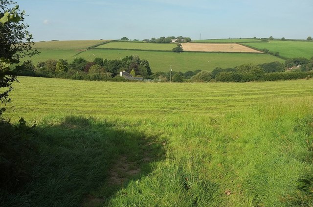
Image: © Derek Harper Taken: 10 Sep 2015
From a gateway by the village sign shown in Image Across this field on the left, the hedge marks the line of the field access track shown in Image The building is Landlooe House. On the far slopes of the East Looe valley, between the two fields and amongst trees, is Churchtown Dairy Unit, in Image
Images are licensed for reuse under creativecommons.org/licenses/by-sa/2.0
Image Location


Leaflet Map data © OpenStreetMap
Latitude
50.410201
Longitude
-4.461474