Path from Wiltshire Lane to Chestnut Avenue
Introduction
The photograph on this page of Path from Wiltshire Lane to Chestnut Avenue by David Howard as part of the Geograph project.
The Geograph project started in 2005 with the aim of publishing, organising and preserving representative images for every square kilometre of Great Britain, Ireland and the Isle of Man.

There are currently over 7.5m images from over 14,400 individuals and you can help contribute to the project by visiting https://www.geograph.org.uk
Path from Wiltshire Lane to Chestnut Avenue
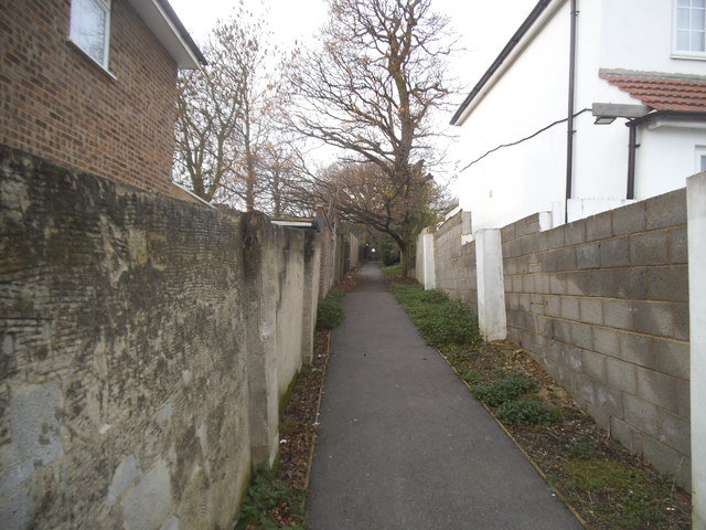
Image: © David Howard Taken: 2 Dec 2015
The same as the previous one, but a little further along not showing the gates, which appear to make it impossible to access with a wheelchair.
Images are licensed for reuse under creativecommons.org/licenses/by-sa/2.0
Image Location
Latitude
51.595276
Longitude
-0.416247