Southern end of a cycle path from Greenfields Gardens, Shrewsbury
Introduction
The photograph on this page of Southern end of a cycle path from Greenfields Gardens, Shrewsbury by Jaggery as part of the Geograph project.
The Geograph project started in 2005 with the aim of publishing, organising and preserving representative images for every square kilometre of Great Britain, Ireland and the Isle of Man.

There are currently over 7.5m images from over 14,400 individuals and you can help contribute to the project by visiting https://www.geograph.org.uk
Southern end of a cycle path from Greenfields Gardens, Shrewsbury
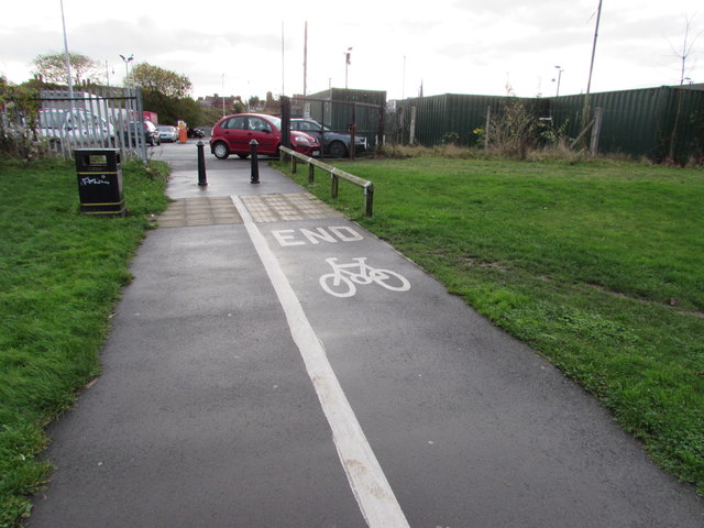
Image: © Jaggery Taken: 1 Dec 2015
Greenfields Gardens is an area of modern housing http://www.geograph.org.uk/photo/4755181 which is accessed by motor vehicles from the A528 Ellesmere Road.
Images are licensed for reuse under creativecommons.org/licenses/by-sa/2.0
Image Location
Latitude
52.714889
Longitude
-2.750478