Shrewsbury Community Dental Centre
Introduction
The photograph on this page of Shrewsbury Community Dental Centre by Jaggery as part of the Geograph project.
The Geograph project started in 2005 with the aim of publishing, organising and preserving representative images for every square kilometre of Great Britain, Ireland and the Isle of Man.

There are currently over 7.5m images from over 14,400 individuals and you can help contribute to the project by visiting https://www.geograph.org.uk
Shrewsbury Community Dental Centre
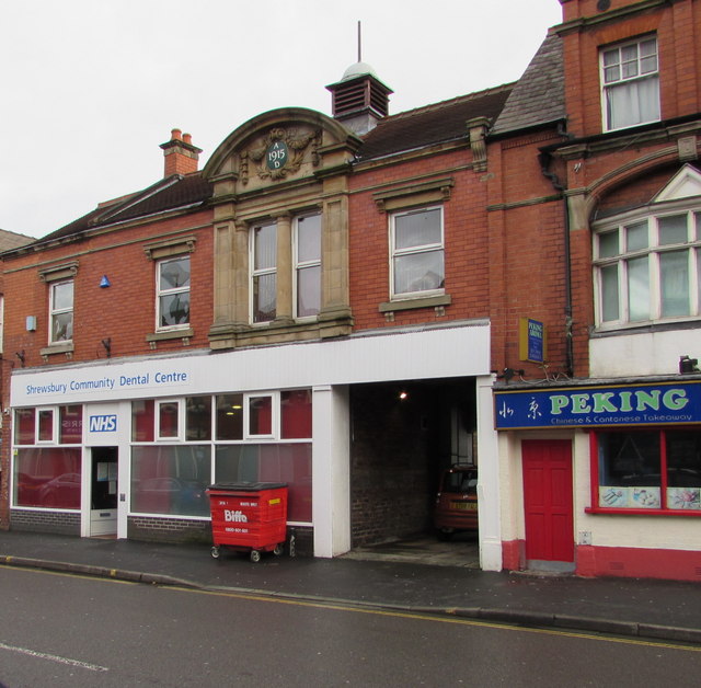
Image: © Jaggery Taken: 1 Dec 2015
National Health Service dental centre at 71 Castle Foregate. The year 1915 is in the roundel at the top of the building.
Images are licensed for reuse under creativecommons.org/licenses/by-sa/2.0
Image Location
Latitude
52.713637
Longitude
-2.74942