Farm entrance, Stoney Batter
Introduction
The photograph on this page of Farm entrance, Stoney Batter by Andy Gryce as part of the Geograph project.
The Geograph project started in 2005 with the aim of publishing, organising and preserving representative images for every square kilometre of Great Britain, Ireland and the Isle of Man.

There are currently over 7.5m images from over 14,400 individuals and you can help contribute to the project by visiting https://www.geograph.org.uk
Farm entrance, Stoney Batter
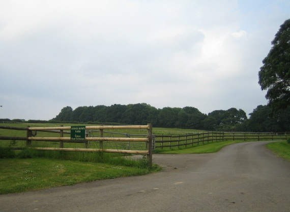
Image: © Andy Gryce Taken: 8 Jun 2007
This road going east off Stoney Batter Lane, is according to the sign the entrance to 'Stanfield Farm, Grays Rear Entrance'. There is no road or path here on OS maps, nor a Stanfield Farm, but there is a group of buildings called Gray's, and a copse and a lodge of the same name nearby.
Images are licensed for reuse under creativecommons.org/licenses/by-sa/2.0
Image Location
Latitude
51.070048
Longitude
-1.588907