Pasture, Holcombe
Introduction
The photograph on this page of Pasture, Holcombe by Derek Harper as part of the Geograph project.
The Geograph project started in 2005 with the aim of publishing, organising and preserving representative images for every square kilometre of Great Britain, Ireland and the Isle of Man.

There are currently over 7.5m images from over 14,400 individuals and you can help contribute to the project by visiting https://www.geograph.org.uk
Pasture, Holcombe
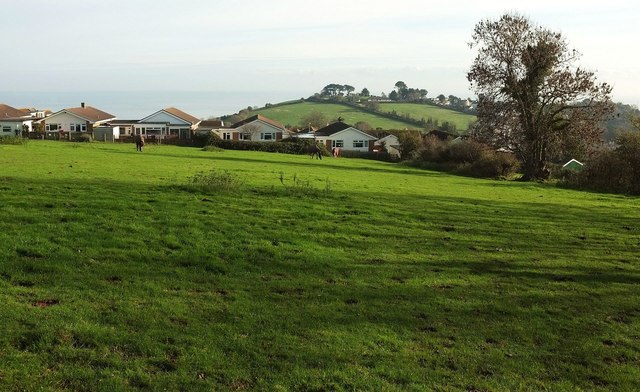
Image: © Derek Harper Taken: 23 Nov 2015
Dawlish Footpath 24 crosses this meadow above the Holcombe valley, heading for the stile shown in Image onto Sweetbriar Lane.
Images are licensed for reuse under creativecommons.org/licenses/by-sa/2.0
Image Location
Latitude
50.566287
Longitude
-3.482955