View over St Andrews
Introduction
The photograph on this page of View over St Andrews by Richard Webb as part of the Geograph project.
The Geograph project started in 2005 with the aim of publishing, organising and preserving representative images for every square kilometre of Great Britain, Ireland and the Isle of Man.

There are currently over 7.5m images from over 14,400 individuals and you can help contribute to the project by visiting https://www.geograph.org.uk
View over St Andrews
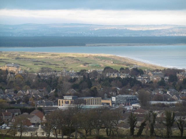
Image: © Richard Webb Taken: 26 Nov 2015
View from Balrymonth Hill towards the town and Old Course. Tentsmuir Forest beyond the mouth of the Eden.
Images are licensed for reuse under creativecommons.org/licenses/by-sa/2.0
Image Location
Latitude
56.338261
Longitude
-2.802268