The Bull's Head, Mobberley
Introduction
The photograph on this page of The Bull's Head, Mobberley by Steve Whalley as part of the Geograph project.
The Geograph project started in 2005 with the aim of publishing, organising and preserving representative images for every square kilometre of Great Britain, Ireland and the Isle of Man.

There are currently over 7.5m images from over 14,400 individuals and you can help contribute to the project by visiting https://www.geograph.org.uk
The Bull's Head, Mobberley
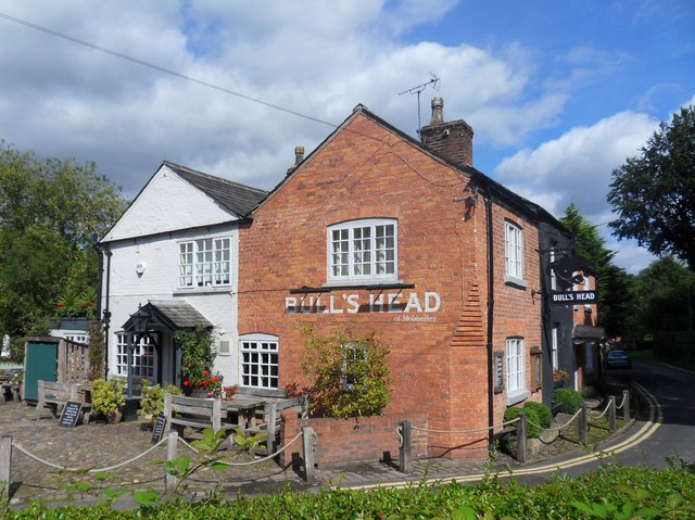
Image: © Steve Whalley Taken: 5 Sep 2015
The Bull's Head dates from 1812. It is tucked away down Mill Lane opposite another pub, The Roebuck, that has been closed for a few years. There are so many pubs because Mill Lane used to be the main road through Mobberley before a bypass was built.
Images are licensed for reuse under creativecommons.org/licenses/by-sa/2.0
Image Location
Latitude
53.312823
Longitude
-2.317253