Turf Hill, Lightwater
Introduction
The photograph on this page of Turf Hill, Lightwater by Alan Hunt as part of the Geograph project.
The Geograph project started in 2005 with the aim of publishing, organising and preserving representative images for every square kilometre of Great Britain, Ireland and the Isle of Man.

There are currently over 7.5m images from over 14,400 individuals and you can help contribute to the project by visiting https://www.geograph.org.uk
Turf Hill, Lightwater
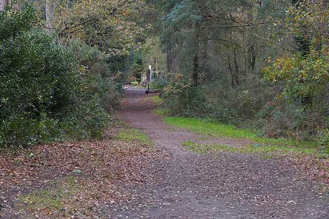
Image: © Alan Hunt Taken: 25 Nov 2015
The track running along the northern edge of Turf Hill, an area of heathland between the Red Road and Lightwater Village.
Images are licensed for reuse under creativecommons.org/licenses/by-sa/2.0
Image Location
Latitude
51.347155
Longitude
-0.659301