Clarke's Lane, Belfast (November 2015)
Introduction
The photograph on this page of Clarke's Lane, Belfast (November 2015) by Albert Bridge as part of the Geograph project.
The Geograph project started in 2005 with the aim of publishing, organising and preserving representative images for every square kilometre of Great Britain, Ireland and the Isle of Man.

There are currently over 7.5m images from over 14,400 individuals and you can help contribute to the project by visiting https://www.geograph.org.uk
Clarke's Lane, Belfast (November 2015)
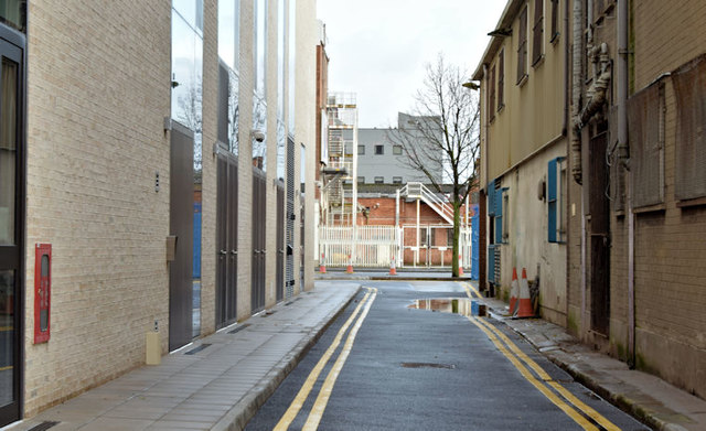
Image: © Albert Bridge Taken: 29 Nov 2015
See Image (July 2008). Clarke’s Lane, looking from Curtis Street towards the Dunbar Link, now resurfaced and re-opened to traffic. Block “B” of the University of Ulster Image (left) has replaced Image and Image
Images are licensed for reuse under creativecommons.org/licenses/by-sa/2.0
Image Location
Latitude
54.604392
Longitude
-5.928476