SW down from Commondyke towards Auchinleck and hills beyond, NE of Dalmellington
Introduction
The photograph on this page of SW down from Commondyke towards Auchinleck and hills beyond, NE of Dalmellington by Ben Brooksbank as part of the Geograph project.
The Geograph project started in 2005 with the aim of publishing, organising and preserving representative images for every square kilometre of Great Britain, Ireland and the Isle of Man.

There are currently over 7.5m images from over 14,400 individuals and you can help contribute to the project by visiting https://www.geograph.org.uk
SW down from Commondyke towards Auchinleck and hills beyond, NE of Dalmellington
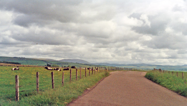
Image: © Ben Brooksbank Taken: 21 Jun 1994
View is backed by the range of hills between the valleys of the Rivers Nith and the Doon.
Images are licensed for reuse under creativecommons.org/licenses/by-sa/2.0
Image Location
Latitude
55.475372
Longitude
-4.253078