Trub Lock, Rochdale Canal
Introduction
The photograph on this page of Trub Lock, Rochdale Canal by michael ely as part of the Geograph project.
The Geograph project started in 2005 with the aim of publishing, organising and preserving representative images for every square kilometre of Great Britain, Ireland and the Isle of Man.

There are currently over 7.5m images from over 14,400 individuals and you can help contribute to the project by visiting https://www.geograph.org.uk
Trub Lock, Rochdale Canal
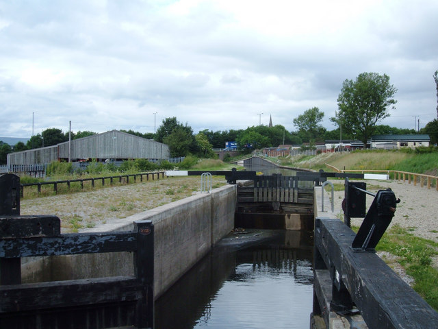
Image: © michael ely Taken: 23 Jun 2007
This is a new lock that was built in 2002 as part of the regeneration of the Rochdale Canal. It is situated at the end of Earl Street just south of Castleton. View looking north towards Castleton.
Images are licensed for reuse under creativecommons.org/licenses/by-sa/2.0
Image Location
Latitude
53.583577
Longitude
-2.177444