Former Greenock Provident Bank building
Introduction
The photograph on this page of Former Greenock Provident Bank building by Thomas Nugent as part of the Geograph project.
The Geograph project started in 2005 with the aim of publishing, organising and preserving representative images for every square kilometre of Great Britain, Ireland and the Isle of Man.

There are currently over 7.5m images from over 14,400 individuals and you can help contribute to the project by visiting https://www.geograph.org.uk
Former Greenock Provident Bank building
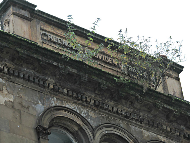
Image: © Thomas Nugent Taken: 2 Nov 2015
The name of the bank is just visible through the bushes. A Category B Listed building http://portal.historic-scotland.gov.uk/hes/web/f?p=PORTAL:DESIGNATION:::::DES:LB34170 . See also Image & Image
Images are licensed for reuse under creativecommons.org/licenses/by-sa/2.0
Image Location


Leaflet Map data © OpenStreetMap
Latitude
55.947431
Longitude
-4.755506