A1(M) near Welwyn Heath
Introduction
The photograph on this page of A1(M) near Welwyn Heath by Nigel Cox as part of the Geograph project.
The Geograph project started in 2005 with the aim of publishing, organising and preserving representative images for every square kilometre of Great Britain, Ireland and the Isle of Man.

There are currently over 7.5m images from over 14,400 individuals and you can help contribute to the project by visiting https://www.geograph.org.uk
A1(M) near Welwyn Heath
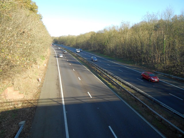
Image: © Nigel Cox Taken: 22 Nov 2015
This road was originally built around 1960 to bypass several town centres on the old Great North Road in Hertfordshire. It appears on the 1964 Ordnance Survey 1:10,000 scale map, but not on the 1960 version. When it was built the road here cut a swathe through the western edge of Mardley Heath. It would be interesting to see if such a development would have been allowed today. This is the view looking north from the Pottersheath Road overbridge.
Images are licensed for reuse under creativecommons.org/licenses/by-sa/2.0
Image Location
Latitude
51.847955
Longitude
-0.198037