Martin, 47 High Street
Introduction
The photograph on this page of Martin, 47 High Street by Brian Westlake as part of the Geograph project.
The Geograph project started in 2005 with the aim of publishing, organising and preserving representative images for every square kilometre of Great Britain, Ireland and the Isle of Man.

There are currently over 7.5m images from over 14,400 individuals and you can help contribute to the project by visiting https://www.geograph.org.uk
Martin, 47 High Street
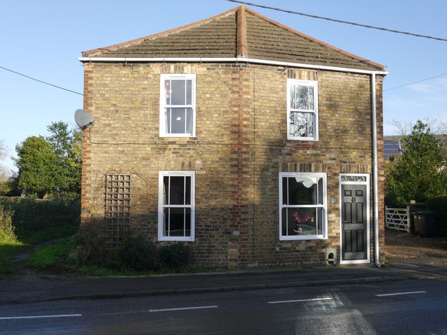
Image: © Brian Westlake Taken: 26 Nov 2015
This unusually shaped house carries a cut bench mark to the right of the shallow angle. See http://www.geograph.org.uk/photo/4751425 for a close-up and http://www.bench-marks.org.uk/bm71868 for details of the mark.
Images are licensed for reuse under creativecommons.org/licenses/by-sa/2.0
Image Location
Latitude
53.124517
Longitude
-0.321448