Field by Pudleylake Road
Introduction
The photograph on this page of Field by Pudleylake Road by Derek Harper as part of the Geograph project.
The Geograph project started in 2005 with the aim of publishing, organising and preserving representative images for every square kilometre of Great Britain, Ireland and the Isle of Man.

There are currently over 7.5m images from over 14,400 individuals and you can help contribute to the project by visiting https://www.geograph.org.uk
Field by Pudleylake Road
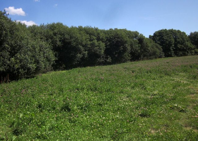
Image: © Derek Harper Taken: 31 Jul 2015
The trees are along Warlake, a stream also followed by a parish boundary - this side is Musbury.
Images are licensed for reuse under creativecommons.org/licenses/by-sa/2.0
Image Location
Latitude
50.7583
Longitude
-3.011788