Upper York Street, Bristol
Introduction
The photograph on this page of Upper York Street, Bristol by Derek Harper as part of the Geograph project.
The Geograph project started in 2005 with the aim of publishing, organising and preserving representative images for every square kilometre of Great Britain, Ireland and the Isle of Man.

There are currently over 7.5m images from over 14,400 individuals and you can help contribute to the project by visiting https://www.geograph.org.uk
Upper York Street, Bristol
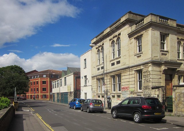
Image: © Derek Harper Taken: 29 Jul 2015
From the same position as Image], looking to the left; on the right is another view of the annex section of Brunswick Court http://www.historicengland.org.uk/listing/the-list/list-entry/1290763 . Beyond the Coach House, now offices for small businesses, is a crossroads with Wilder Street. Beyond that is York Place, flats.
Images are licensed for reuse under creativecommons.org/licenses/by-sa/2.0
Image Location
Latitude
51.460795
Longitude
-2.588516