Malpas Road pavement, Crindau, Newport
Introduction
The photograph on this page of Malpas Road pavement, Crindau, Newport by Jaggery as part of the Geograph project.
The Geograph project started in 2005 with the aim of publishing, organising and preserving representative images for every square kilometre of Great Britain, Ireland and the Isle of Man.

There are currently over 7.5m images from over 14,400 individuals and you can help contribute to the project by visiting https://www.geograph.org.uk
Malpas Road pavement, Crindau, Newport
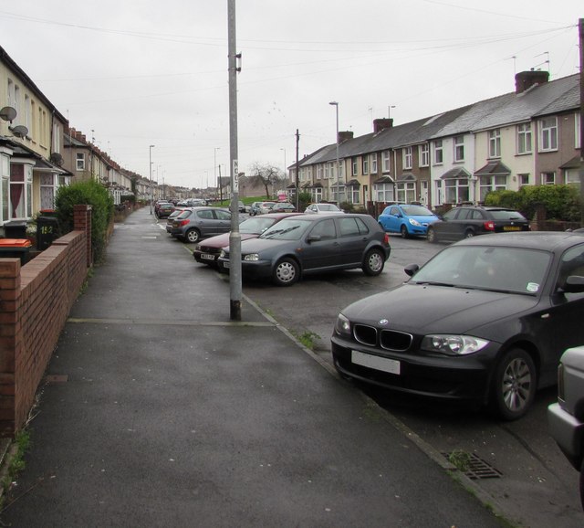
Image: © Jaggery Taken: 15 Nov 2015
This is the NW end of a 160 metres long part of Malpas Road, formerly a main road, which became a dead-end backwater when the course of the Malpas Road main road was realigned during the construction of M4 motorway junction 26 in the 1960s. A pedestrian underpass below the M4 is behind the camera.
Images are licensed for reuse under creativecommons.org/licenses/by-sa/2.0
Image Location
Latitude
51.600858
Longitude
-3.003263