Road to Dumbmill
Introduction
The photograph on this page of Road to Dumbmill by Ken Fitlike as part of the Geograph project.
The Geograph project started in 2005 with the aim of publishing, organising and preserving representative images for every square kilometre of Great Britain, Ireland and the Isle of Man.

There are currently over 7.5m images from over 14,400 individuals and you can help contribute to the project by visiting https://www.geograph.org.uk
Road to Dumbmill
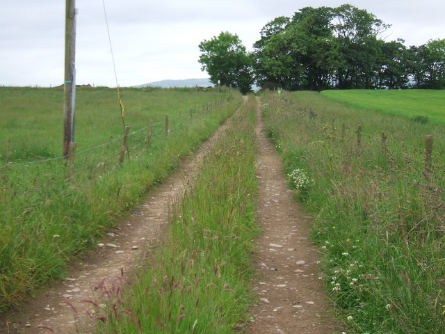
Image: © Ken Fitlike Taken: 23 Jun 2007
Track later becomes overgrown and only passable by tractor. I doubt if Dumbmill functions as a separate unit now.
Images are licensed for reuse under creativecommons.org/licenses/by-sa/2.0
Image Location
Latitude
57.540131
Longitude
-1.997981