Stile and field near Higher Walton
Introduction
The photograph on this page of Stile and field near Higher Walton by Adam C Snape as part of the Geograph project.
The Geograph project started in 2005 with the aim of publishing, organising and preserving representative images for every square kilometre of Great Britain, Ireland and the Isle of Man.

There are currently over 7.5m images from over 14,400 individuals and you can help contribute to the project by visiting https://www.geograph.org.uk
Stile and field near Higher Walton
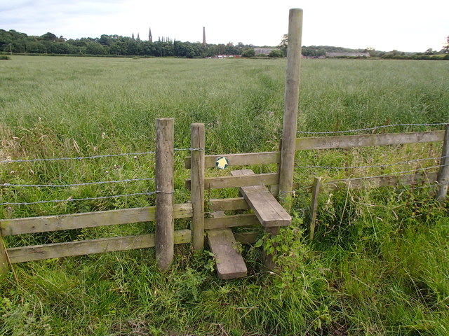
Image: © Adam C Snape Taken: 31 Jul 2015
A view over the fields from the footpath to Bannister Hall. The farm buildings are visible at the end of the field. The chimney of Higher Walton Mill and the spire of All Saints' Church, both in Imageare visible in the distance
Images are licensed for reuse under creativecommons.org/licenses/by-sa/2.0
Image Location
Latitude
53.74625
Longitude
-2.633027