Havelock Street bus stop and shelter, Newport
Introduction
The photograph on this page of Havelock Street bus stop and shelter, Newport by Jaggery as part of the Geograph project.
The Geograph project started in 2005 with the aim of publishing, organising and preserving representative images for every square kilometre of Great Britain, Ireland and the Isle of Man.

There are currently over 7.5m images from over 14,400 individuals and you can help contribute to the project by visiting https://www.geograph.org.uk
Havelock Street bus stop and shelter, Newport
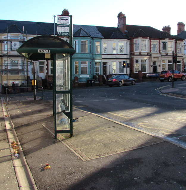
Image: © Jaggery Taken: 21 Nov 2015
Near the Stow Hill junction at the edge of the Baneswell area of Newport. This stop is for buses away from the city centre, up Stow Hill towards St Woolos Cathedral, the Handpost area and locations beyond.
Images are licensed for reuse under creativecommons.org/licenses/by-sa/2.0
Image Location
Latitude
51.585533
Longitude
-2.997297