St John's Church from Mattock Lane
Introduction
The photograph on this page of St John's Church from Mattock Lane by Roger Templeman as part of the Geograph project.
The Geograph project started in 2005 with the aim of publishing, organising and preserving representative images for every square kilometre of Great Britain, Ireland and the Isle of Man.

There are currently over 7.5m images from over 14,400 individuals and you can help contribute to the project by visiting https://www.geograph.org.uk
St John's Church from Mattock Lane
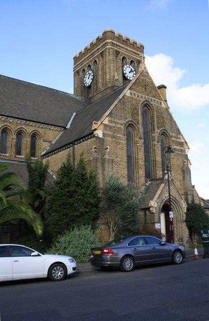
Image: © Roger Templeman Taken: 16 Nov 2015
There is an OS benchmark Image at the base of the buttress on the near corner of the building, behind the conifer. There was a flagstaff on the tower which was an OS intersected station trig point, http://trigpointing.uk/trig/24242 , which was destroyed in May 1981
Images are licensed for reuse under creativecommons.org/licenses/by-sa/2.0
Image Location
Latitude
51.50991
Longitude
-0.317182