Inchree and Ardgour
Introduction
The photograph on this page of Inchree and Ardgour by Jim Barton as part of the Geograph project.
The Geograph project started in 2005 with the aim of publishing, organising and preserving representative images for every square kilometre of Great Britain, Ireland and the Isle of Man.

There are currently over 7.5m images from over 14,400 individuals and you can help contribute to the project by visiting https://www.geograph.org.uk
Inchree and Ardgour
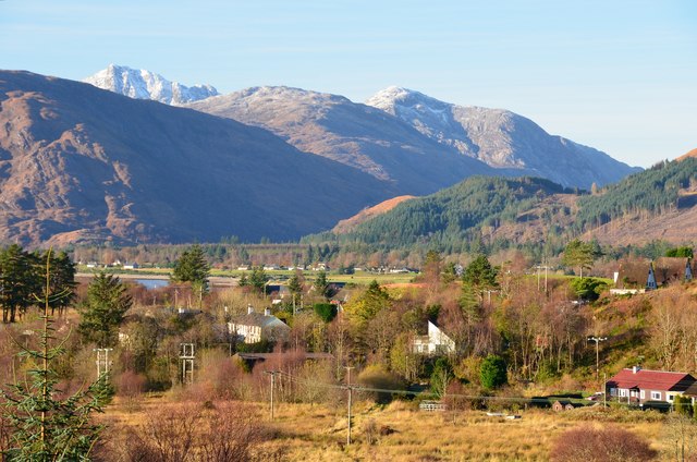
Image: © Jim Barton Taken: 22 Nov 2015
The nearby houses are in Inchree with the far side of Loch Linnhe opposite. The summit of Garbh Beinn (885m) rises L of centre over the intermediate ridge in Glen Gour, seen from the path to the Glen Righ falls.
Images are licensed for reuse under creativecommons.org/licenses/by-sa/2.0
Image Location
Latitude
56.717877
Longitude
-5.227818