Knowetop Community Farm: the garden
Introduction
The photograph on this page of Knowetop Community Farm: the garden by Lairich Rig as part of the Geograph project.
The Geograph project started in 2005 with the aim of publishing, organising and preserving representative images for every square kilometre of Great Britain, Ireland and the Isle of Man.

There are currently over 7.5m images from over 14,400 individuals and you can help contribute to the project by visiting https://www.geograph.org.uk
Knowetop Community Farm: the garden
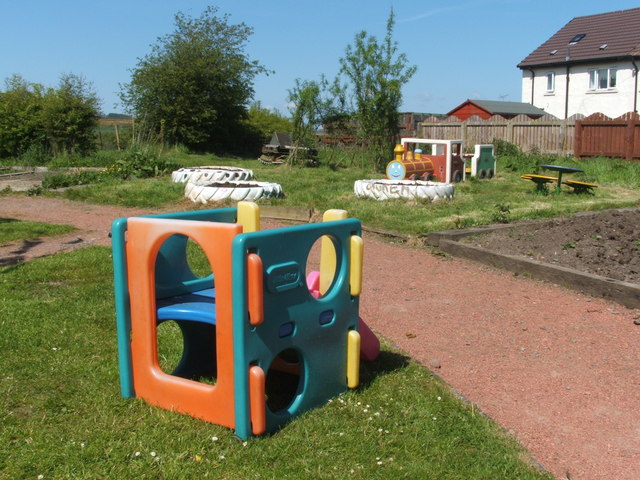
Image: © Lairich Rig Taken: 13 May 2009
This was the eastern extremity of the site; for another view from this area, see Image In the present picture, the houses at the far right are on Knowetop Crescent.
Images are licensed for reuse under creativecommons.org/licenses/by-sa/2.0
Image Location
Latitude
55.951889
Longitude
-4.591617