Dunragit Village
Introduction
The photograph on this page of Dunragit Village by Mary and Angus Hogg as part of the Geograph project.
The Geograph project started in 2005 with the aim of publishing, organising and preserving representative images for every square kilometre of Great Britain, Ireland and the Isle of Man.

There are currently over 7.5m images from over 14,400 individuals and you can help contribute to the project by visiting https://www.geograph.org.uk
Dunragit Village
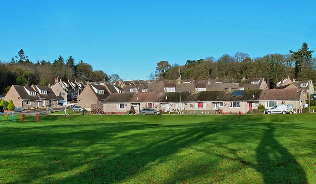
Image: © Mary and Angus Hogg Taken: 22 Nov 2015
The park lies next to the former A75, much quieter nowadays after the construction of the Dunragit by-pass.
Images are licensed for reuse under creativecommons.org/licenses/by-sa/2.0
Image Location
Latitude
54.878938
Longitude
-4.884602