Beinn na Caillich from the River Leven
Introduction
The photograph on this page of Beinn na Caillich from the River Leven by Jim Barton as part of the Geograph project.
The Geograph project started in 2005 with the aim of publishing, organising and preserving representative images for every square kilometre of Great Britain, Ireland and the Isle of Man.

There are currently over 7.5m images from over 14,400 individuals and you can help contribute to the project by visiting https://www.geograph.org.uk
Beinn na Caillich from the River Leven
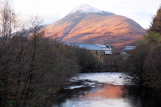
Image: © Jim Barton Taken: 20 Nov 2015
Low sun catching the ridge of the 'hill of the old woman', seen from the footbridge upstream of the hydroelectric plant. The snowline is at about 600m.
Images are licensed for reuse under creativecommons.org/licenses/by-sa/2.0
Image Location
Latitude
56.713175
Longitude
-4.957559