Herschel Road
Introduction
The photograph on this page of Herschel Road by John Sutton as part of the Geograph project.
The Geograph project started in 2005 with the aim of publishing, organising and preserving representative images for every square kilometre of Great Britain, Ireland and the Isle of Man.

There are currently over 7.5m images from over 14,400 individuals and you can help contribute to the project by visiting https://www.geograph.org.uk
Herschel Road
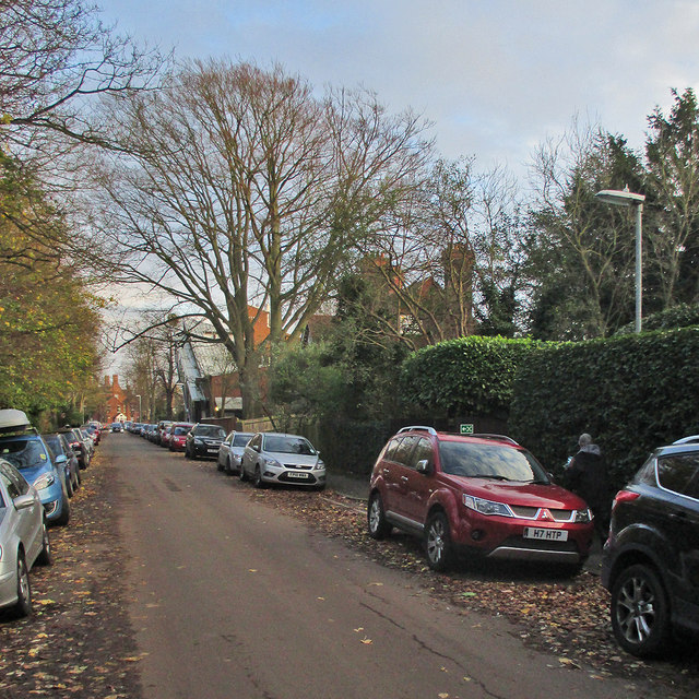
Image: © John Sutton Taken: 22 Nov 2015
To the left of the tall tree is the Michael Stoker Building of Clare Hall College, which was built in 1988.
Images are licensed for reuse under creativecommons.org/licenses/by-sa/2.0
Image Location
Latitude
52.204345
Longitude
0.103337