Brunswick Row, Brighton
Introduction
The photograph on this page of Brunswick Row, Brighton by Simon Carey as part of the Geograph project.
The Geograph project started in 2005 with the aim of publishing, organising and preserving representative images for every square kilometre of Great Britain, Ireland and the Isle of Man.

There are currently over 7.5m images from over 14,400 individuals and you can help contribute to the project by visiting https://www.geograph.org.uk
Brunswick Row, Brighton
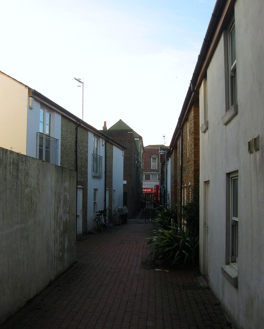
Image: © Simon Carey Taken: 21 Nov 2015
A narrow alley that connects Ditchling Road to London Road that was originally developed in the 1830s. A number of the original cottages have been demolished with only a few surviving on the northern side. Those to the south are fairly recent editions. See http://www.regencysociety-jamesgray.com/volume10a/source/jg_10a_026.html for a view taken in 1954. The section to the east of Queen's Place is gated and can only be accessed by the public between 6am-8pm.
Images are licensed for reuse under creativecommons.org/licenses/by-sa/2.0
Image Location
Latitude
50.829984
Longitude
-0.135135