Felling, Hartleap
Introduction
The photograph on this page of Felling, Hartleap by Richard Webb as part of the Geograph project.
The Geograph project started in 2005 with the aim of publishing, organising and preserving representative images for every square kilometre of Great Britain, Ireland and the Isle of Man.

There are currently over 7.5m images from over 14,400 individuals and you can help contribute to the project by visiting https://www.geograph.org.uk
Felling, Hartleap
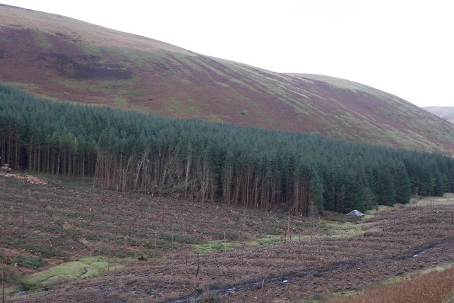
Image: © Richard Webb Taken: 19 Nov 2015
These woodlands Image are being clear felled. A building, long hidden is being exposed to the B709.
Images are licensed for reuse under creativecommons.org/licenses/by-sa/2.0
Image Location
Latitude
55.475766
Longitude
-3.142992