Pont Syr Dafydd, The Rock
Introduction
The photograph on this page of Pont Syr Dafydd, The Rock by M J Roscoe as part of the Geograph project.
The Geograph project started in 2005 with the aim of publishing, organising and preserving representative images for every square kilometre of Great Britain, Ireland and the Isle of Man.

There are currently over 7.5m images from over 14,400 individuals and you can help contribute to the project by visiting https://www.geograph.org.uk
Pont Syr Dafydd, The Rock
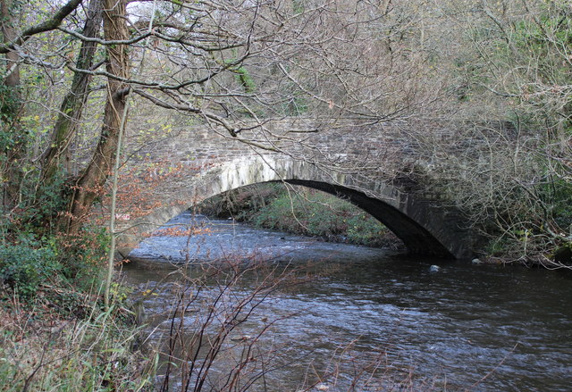
Image: © M J Roscoe Taken: 21 Nov 2015
South west side of eighteenth century stone road bridge (grade II listed) over the River Sirhowy, looking upstream. The Sirhowy Valley Walk crosses the bridge.
Images are licensed for reuse under creativecommons.org/licenses/by-sa/2.0
Image Location
Latitude
51.679448
Longitude
-3.186084