Rableyheath: Pottersheath Road/Rableyheath Road/Spinney Lane junction
Introduction
The photograph on this page of Rableyheath: Pottersheath Road/Rableyheath Road/Spinney Lane junction by Nigel Cox as part of the Geograph project.
The Geograph project started in 2005 with the aim of publishing, organising and preserving representative images for every square kilometre of Great Britain, Ireland and the Isle of Man.

There are currently over 7.5m images from over 14,400 individuals and you can help contribute to the project by visiting https://www.geograph.org.uk
Rableyheath: Pottersheath Road/Rableyheath Road/Spinney Lane junction
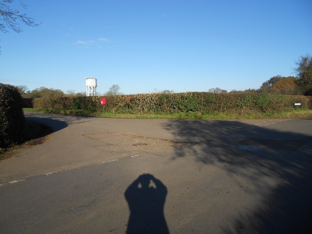
Image: © Nigel Cox Taken: 22 Nov 2015
These lanes are in order left to right across the photograph respectively. There is an isolated rural letter box in view and Rableyheath Water Tower in Image beyond.
Images are licensed for reuse under creativecommons.org/licenses/by-sa/2.0
Image Location
Latitude
51.854683
Longitude
-0.202851