Halmer End: farm track and public footpath
Introduction
The photograph on this page of Halmer End: farm track and public footpath by Jonathan Hutchins as part of the Geograph project.
The Geograph project started in 2005 with the aim of publishing, organising and preserving representative images for every square kilometre of Great Britain, Ireland and the Isle of Man.

There are currently over 7.5m images from over 14,400 individuals and you can help contribute to the project by visiting https://www.geograph.org.uk
Halmer End: farm track and public footpath
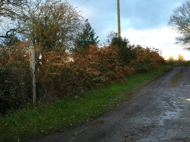
Image: © Jonathan Hutchins Taken: 22 Nov 2015
The track leads to Golden Hay Farm, but is also the route of public footpath Audley FP 88.
Images are licensed for reuse under creativecommons.org/licenses/by-sa/2.0
Image Location
Latitude
53.040545
Longitude
-2.318441