St Woolos Place, Newport
Introduction
The photograph on this page of St Woolos Place, Newport by Jaggery as part of the Geograph project.
The Geograph project started in 2005 with the aim of publishing, organising and preserving representative images for every square kilometre of Great Britain, Ireland and the Isle of Man.

There are currently over 7.5m images from over 14,400 individuals and you can help contribute to the project by visiting https://www.geograph.org.uk
St Woolos Place, Newport
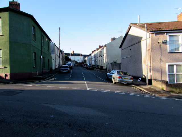
Image: © Jaggery Taken: 21 Nov 2015
Dead-end street extending for 60 metres from St Woolos Road. An old-style name sign on the corner wall on the right shows ST WOOLLOS PLACE but the spelling Woolos is now generally used, both for street names and the nearby cathedral. www.geograph.org.uk/photo/4747137
Images are licensed for reuse under creativecommons.org/licenses/by-sa/2.0
Image Location
Latitude
51.583252
Longitude
-3.001143