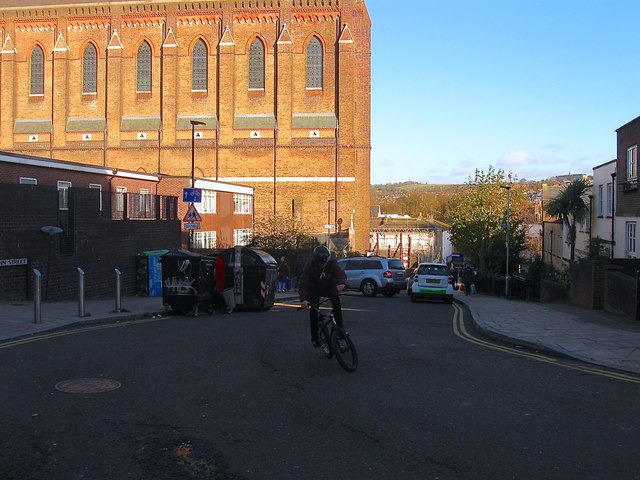
Ann Street, Brighton
Introduction
The photograph on this page of Ann Street, Brighton by Simon Carey as part of the Geograph project.
The Geograph project started in 2005 with the aim of publishing, organising and preserving representative images for every square kilometre of Great Britain, Ireland and the Isle of Man.
There are currently over 7.5m images from over 14,400 individuals and you can help contribute to the project by visiting https://www.geograph.org.uk

Image: © Simon Carey Taken: 21 Nov 2015
Built in the 1840s as a residential road that connected London Road to Peel Street. The western end was demolished and truncated when the goods yard was extended around 1903 with the road ending at Fleet Street and New York Street. Much of the area was redeveloped in the early 1960s which included the reconstruction and expansion of St Bartholomew's Infants School on the left which required the compulsory purchasing of numbers 11-19. Number 19 had been the exotically named Mazeppa Inn from the 1860s until its closure in 1958 the pub being named after either a 17th century Ukrainian Cossack nobleman or Lord Byron's 1819 poem about said gentleman. At about the same time numbers 34-40 on the southern side were also removed but not replaced with housing until the 1990s with much of the area between new England Street and St Peter's Street becoming a car park. The imposing building on the left is St Bartholomew's church.
Image Location


