Demolition on Corn Hill - completed
Introduction
The photograph on this page of Demolition on Corn Hill - completed by John M as part of the Geograph project.
The Geograph project started in 2005 with the aim of publishing, organising and preserving representative images for every square kilometre of Great Britain, Ireland and the Isle of Man.

There are currently over 7.5m images from over 14,400 individuals and you can help contribute to the project by visiting https://www.geograph.org.uk
Demolition on Corn Hill - completed
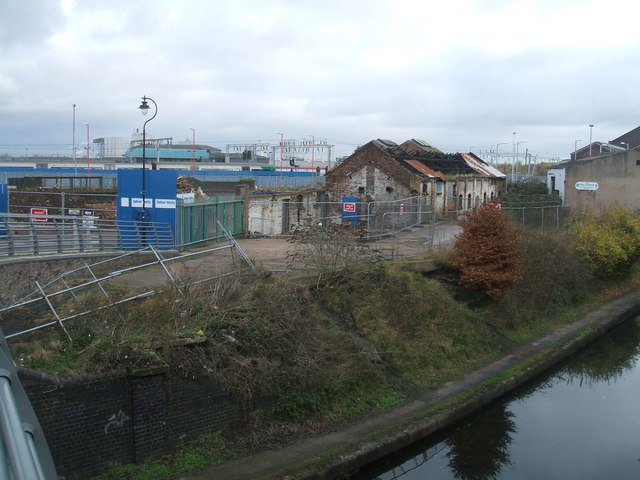
Image: © John M Taken: 22 Nov 2015
The listed buildings have been demolished.
Images are licensed for reuse under creativecommons.org/licenses/by-sa/2.0
Image Location
Latitude
52.586495
Longitude
-2.119658