Cleveland Road, Hartlepool
Introduction
The photograph on this page of Cleveland Road, Hartlepool by Oliver Dixon as part of the Geograph project.
The Geograph project started in 2005 with the aim of publishing, organising and preserving representative images for every square kilometre of Great Britain, Ireland and the Isle of Man.

There are currently over 7.5m images from over 14,400 individuals and you can help contribute to the project by visiting https://www.geograph.org.uk
Cleveland Road, Hartlepool
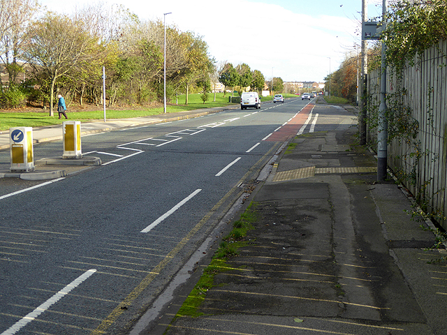
Image: © Oliver Dixon Taken: 19 Nov 2015
A rather dreary section of the England Coast Path follows the pavement of Cleveland Road, A1048, on the south side through from Hartlepool to the Headland.
Images are licensed for reuse under creativecommons.org/licenses/by-sa/2.0
Image Location
Latitude
54.700679
Longitude
-1.206579