Maritime Avenue
Introduction
The photograph on this page of Maritime Avenue by Oliver Dixon as part of the Geograph project.
The Geograph project started in 2005 with the aim of publishing, organising and preserving representative images for every square kilometre of Great Britain, Ireland and the Isle of Man.

There are currently over 7.5m images from over 14,400 individuals and you can help contribute to the project by visiting https://www.geograph.org.uk
Maritime Avenue
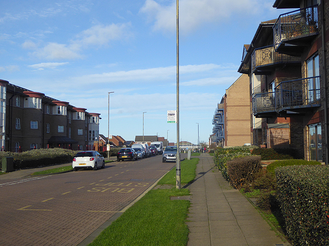
Image: © Oliver Dixon Taken: 19 Nov 2015
The spine road in an area of new housing development to the south of the Hartlepool Marina. The newly-designated section of the England Coast Path runs along this pavement.
Images are licensed for reuse under creativecommons.org/licenses/by-sa/2.0
Image Location
Latitude
54.686799
Longitude
-1.20049