Low Side, Mickleton
Introduction
The photograph on this page of Low Side, Mickleton by David Purchase as part of the Geograph project.
The Geograph project started in 2005 with the aim of publishing, organising and preserving representative images for every square kilometre of Great Britain, Ireland and the Isle of Man.

There are currently over 7.5m images from over 14,400 individuals and you can help contribute to the project by visiting https://www.geograph.org.uk
Low Side, Mickleton
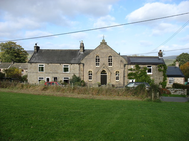
Image: © David Purchase Taken: 22 Oct 2015
The former Wesleyan chapel, built in 1890. A shame about all the wires!
Images are licensed for reuse under creativecommons.org/licenses/by-sa/2.0
Image Location
Latitude
54.609174
Longitude
-2.046723