Marlborough Buildings
Introduction
The photograph on this page of Marlborough Buildings by Alan Murray-Rust as part of the Geograph project.
The Geograph project started in 2005 with the aim of publishing, organising and preserving representative images for every square kilometre of Great Britain, Ireland and the Isle of Man.

There are currently over 7.5m images from over 14,400 individuals and you can help contribute to the project by visiting https://www.geograph.org.uk
Marlborough Buildings
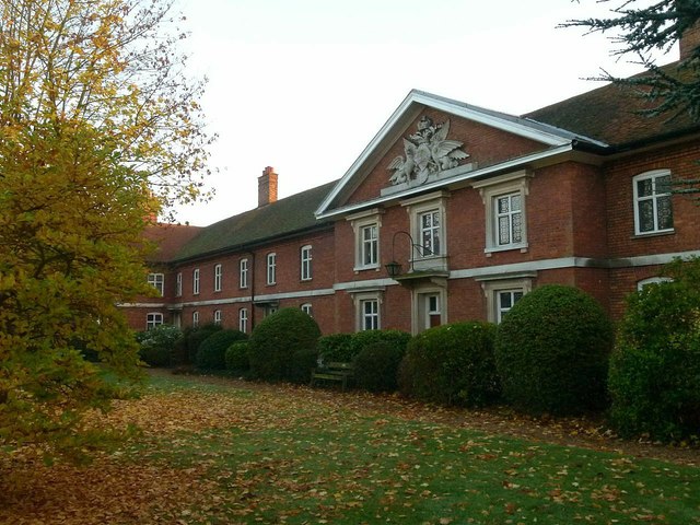
Image: © Alan Murray-Rust Taken: 2 Nov 2015
The central part of the façade with the Marlborough coat of arms in the pediment. The façade was rebuilt in 1850 onto the original 1736 building. Listed Grade II.
Images are licensed for reuse under creativecommons.org/licenses/by-sa/2.0
Image Location


Leaflet Map data © OpenStreetMap
Latitude
51.753754
Longitude
-0.334502