Pemberton Almshouses
Introduction
The photograph on this page of Pemberton Almshouses by Alan Murray-Rust as part of the Geograph project.
The Geograph project started in 2005 with the aim of publishing, organising and preserving representative images for every square kilometre of Great Britain, Ireland and the Isle of Man.

There are currently over 7.5m images from over 14,400 individuals and you can help contribute to the project by visiting https://www.geograph.org.uk
Pemberton Almshouses
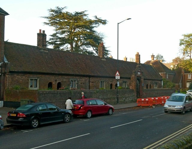
Image: © Alan Murray-Rust Taken: 2 Nov 2015
Built in 1627 by Robert Pemberton, Listed Grade II. The wall and gateway are separately Listed Grade II. See also http://www.geograph.org.uk/photo/2614681 , http://www.geograph.org.uk/photo/2614707
Images are licensed for reuse under creativecommons.org/licenses/by-sa/2.0
Image Location
Latitude
51.756194
Longitude
-0.335426