Royal Wells Hotel
Introduction
The photograph on this page of Royal Wells Hotel by Robin Webster as part of the Geograph project.
The Geograph project started in 2005 with the aim of publishing, organising and preserving representative images for every square kilometre of Great Britain, Ireland and the Isle of Man.

There are currently over 7.5m images from over 14,400 individuals and you can help contribute to the project by visiting https://www.geograph.org.uk
Royal Wells Hotel
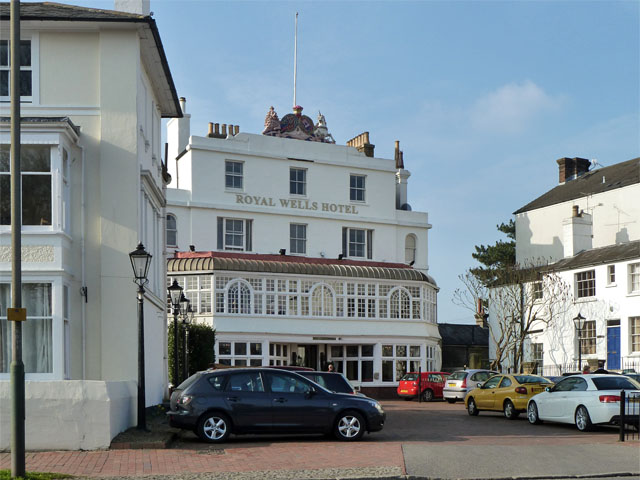
Image: © Robin Webster Taken: 20 Mar 2011
Built 1834, a grade II listed building, along with many other buildings along the road. Formerly the Royal Mount Ephraim Hotel.
Images are licensed for reuse under creativecommons.org/licenses/by-sa/2.0
Image Location


Leaflet Map data © OpenStreetMap
Latitude
51.134567
Longitude
0.25862