Rough grazing near Harrowgate Village
Introduction
The photograph on this page of Rough grazing near Harrowgate Village by Trevor Littlewood as part of the Geograph project.
The Geograph project started in 2005 with the aim of publishing, organising and preserving representative images for every square kilometre of Great Britain, Ireland and the Isle of Man.

There are currently over 7.5m images from over 14,400 individuals and you can help contribute to the project by visiting https://www.geograph.org.uk
Rough grazing near Harrowgate Village
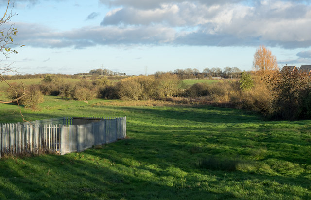
Image: © Trevor Littlewood Taken: 19 Nov 2015
Harrowgate Village is part of Darlington, situated where the A167 leaves the urban area. The rolling grass is to the east of the road.
Images are licensed for reuse under creativecommons.org/licenses/by-sa/2.0
Image Location
Latitude
54.554327
Longitude
-1.547413